Every tonne of CO₂e in a soil carbon credit package is measured against a reference point: what the soil contained before the regenerative management began. That reference point — the baseline — is not just a number on a spreadsheet. It's a statistical characterization of spatial heterogeneity, a snapshot of soil condition at a specific time, and the denominator against which all future change is calculated. Getting the baseline right is not optional; errors here propagate forward through the entire project lifetime.
What a Baseline Measurement Actually Is
A soil carbon baseline is the spatially representative estimate of soil organic carbon (SOC) stock — expressed in tonnes of carbon per hectare — across the enrolled project area, at the time of project initiation. "Spatially representative" is the operative phrase. The objective is not to measure SOC at a handful of convenient locations and assume the rest of the field matches. It's to characterize the full distribution of SOC across the project area, with documented statistical uncertainty, so that future measurements of change can be compared against a known reference with confidence bounds.
In regulatory terms, this is a Tier 3 measurement approach under the IPCC Good Practice Guidance for Land Use, Land-Use Change, and Forestry — project-specific, field-level measurement with uncertainty assessment, as opposed to Tier 1 default factors or Tier 2 country-specific factors. Verra VCS VM0042, Gold Standard Soil Carbon Activity, and the CAR Soil Enrichment Protocol all require Tier 3-equivalent field measurement for baseline establishment.
Spatial Representativeness: The Statistical Challenge
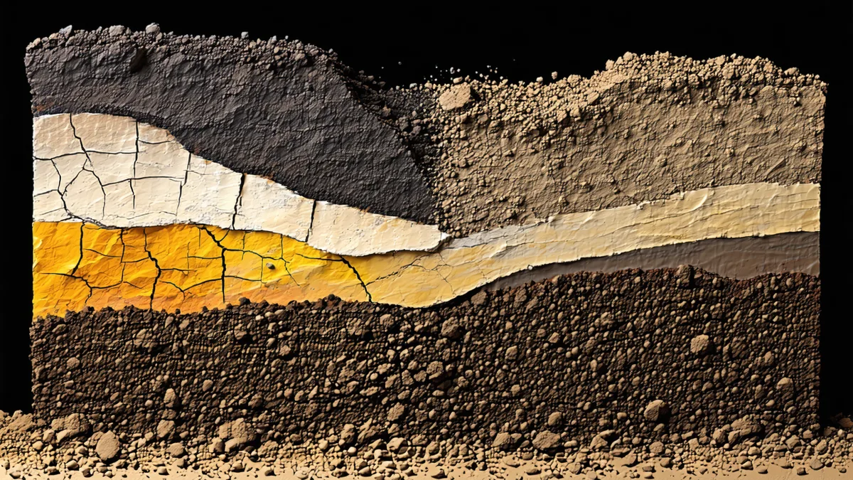
Soil organic carbon varies at multiple spatial scales simultaneously. At the meter scale, micro-topographic variation, root channel distribution, and aggregate structure create SOC variability that's essentially noise relative to the credit calculation. At the field scale (tens to hundreds of meters), landscape position, drainage class, and management history create structured spatial patterns that must be captured by the sampling design. At the farm scale (across multiple fields), soil series variation, field management history, and landscape setting create the between-field variability that determines the aggregation approach.
The goal of baseline sampling design is to capture the meaningful spatial structure at the field and farm scale without over-sampling at the meter scale where variation is sampling noise. The practical tool for identifying the relevant spatial structure before sampling is a combination of USDA NRCS Web Soil Survey data (which maps soil series boundaries within fields) and NDVI time-series analysis from satellite imagery (which reveals differential productivity zones that often correlate with SOC distribution).
A useful concrete example: a 3,400-acre grain farm in Hamilton County, Iowa with a mix of Clarion, Webster, and Nicollet soil series. Clarion soils occupy the gently rolling uplands; Webster soils occupy the low-lying, poorly-drained flats and depressions; Nicollet soils occupy the transitional footslope positions. Webster soils in Hamilton County typically carry SOC levels 30–60% higher than Clarion soils at the same field — not because of differential management, but because of differential organic matter accumulation under the original wetland prairie vegetation and reduced decomposition rates in poorly-drained conditions. A sampling design that doesn't stratify by soil series will produce a biased baseline if Clarion soils are oversampled relative to their areal proportion.
Sampling Design for Baseline Establishment
Stratified random sampling using soil mapping unit boundaries is the standard approach for baseline SOC characterization in US Midwest agricultural settings. The stratification layer should be validated against field observations before sampling — soil map unit boundaries in Web Soil Survey are accurate at the farm/landscape scale but are mapped at 1:24,000 to 1:20,000 scale, which can misclassify inclusions (small pockets of one soil series within a dominant mapping unit).
Minimum sampling density for baseline establishment should achieve a relative standard error (RSE) of ≤10% at the 90% confidence level within each stratum. For typical Mollisol-dominant fields in Iowa, a pre-survey estimate of the coefficient of variation (CV) of approximately 25–35% for SOC leads to a required sample count of approximately 8–15 cores per stratum at the 90% confidence/10% RSE target. For a field with 3 soil mapping units averaging 50 acres each, that translates to 24–45 cores total for baseline.
Cores should be collected at defined depth intervals (0–30, 30–60, 60–90 cm minimum), with bulk density measurements taken at each interval. Lab analysis should use dry combustion (Dumas method) for SOC concentration, with inorganic carbon correction where carbonates may be present in subsurface horizons. All sample locations should be logged with sub-meter GPS coordinates to enable temporally consistent re-sampling at monitoring events.
We're not saying every field requires the same sampling density. We're saying the required density should be calculated from field-specific variability estimates — not assumed from a generic rule of thumb that may be appropriate for one soil type and wrong for another.
Temporal Considerations: When Should Baseline Be Established?
Most protocols require baseline establishment to occur before or concurrent with the start of regenerative management changes. This is not merely a procedural requirement — it's the scientific basis for additionality. If a farm has already been practicing no-till for three years before project initiation, the baseline SOC level at project start already reflects some degree of SOC accumulation relative to the counterfactual (conventional tillage continuation). The project can only claim credit for changes from the project initiation baseline, not for changes that preceded enrollment.
This creates an important operational principle: baseline sampling should happen as close to management change initiation as possible. For farms transitioning from conventional to no-till in autumn, baseline sampling during the same autumn season (post-harvest, pre-freeze, while soil is bare for spectral calibration) aligns measurement timing with management change timing. Delays in baseline establishment create gaps in the carbon accounting timeline that protocols may not allow to be filled retroactively.
The Baseline–Monitoring Continuity Requirement
A baseline measurement is only useful if subsequent monitoring measurements are methodologically consistent with it. This means same depth intervals, same lab analysis method, same or equivalent geographic sampling locations, and same statistical aggregation approach. Inconsistencies between baseline and monitoring methodology are among the most common causes of verification disputes in soil carbon projects — not because the underlying SOC change is fictitious, but because the data comparison is impaired by methodological drift.
A practical safeguard: document the baseline protocol explicitly in the project design document, not just the results. The protocol documentation should specify the sampling grid (or stratification layer and random allocation procedure), core collection procedure, lab method, bulk density measurement procedure, and aggregation method — in enough detail that a different field team could replicate the sampling campaign at the first monitoring event and produce methodologically compatible data.
Historical Baselines and the Counterfactual Problem
Some project methodologies allow the use of historical reference sites or counterfactual control plots alongside the project area, to better estimate what SOC would have been without the management change. This is a stronger additionality design than a simple before-after comparison, because it accounts for external factors (climate variation, regional atmospheric deposition) that affect both project and non-project soils simultaneously.
In practice, identifying suitable reference sites in the Midwest corn belt is challenging because land use changes mean that comparable non-enrolled fields may have different management histories, drainage modifications, or tillage histories that make them poor comparators. Where usable reference sites exist — neighboring conventionally-tilled fields with similar soil series and comparable management history before project initiation — their inclusion in the baseline and monitoring framework adds methodological defensibility.
Where reference sites aren't available, USDA NRCS soil survey data and long-term ecological research (LTER) datasets from sites like the Rothamsted carbon experiment or Iowa State's long-term agricultural research sites can provide independent prior information about expected SOC dynamics under specific management transitions, helping contextualizing the project-level changes against a scientifically grounded expectation.
Written by the Terrabit Science Team. For baseline design support or sampling protocol questions, contact [email protected].