Prairie Ridge Cooperative
4,800 acres across 6 member farms in northern Illinois. Multi-farm pooled verification — demonstrating how smaller operations achieve registry scale through cooperation.
2-year pooled verification data
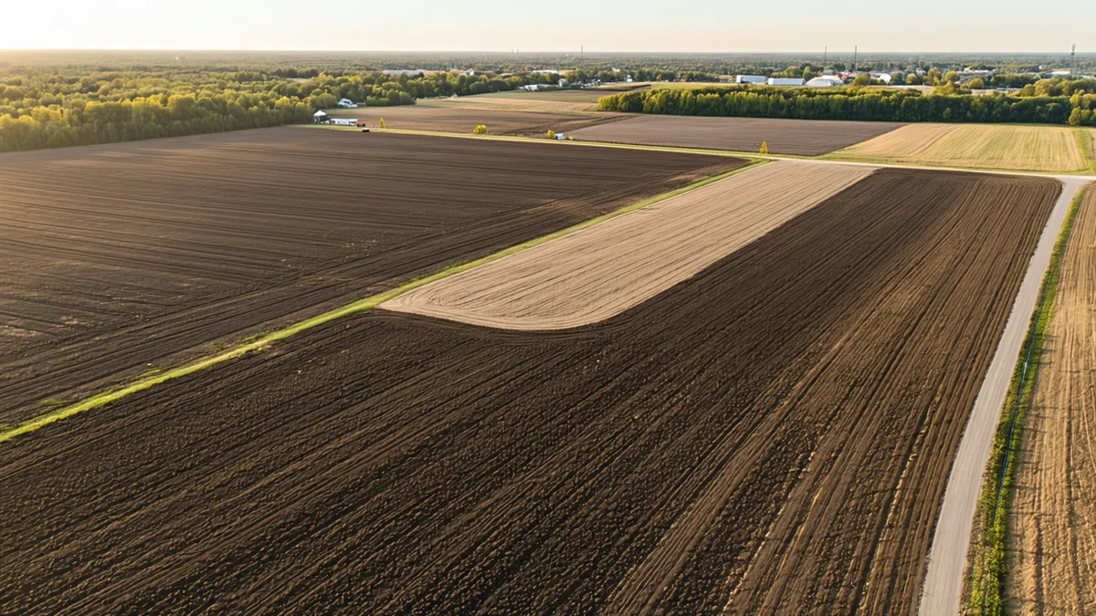
Prairie Ridge Cooperative enrolled 6 member farms in northern Illinois under a pooled verification agreement. Multi-farm aggregation allows each member farm to share the fixed costs of baseline sampling, satellite monitoring, and registry submission — making Terrabit's MRV economically viable for farms as small as 250 acres.
Each farm maintained independently verified sampling grids and chain-of-custody records. Cooperative credits are issued as a pooled project with individual farm-level data records available for buyer due diligence review. This structure is compatible with Verra VCS pooled project requirements.
Cooperative model mechanics
ENROLLMENT STRUCTURE
Single pooled project registration. Each farm has independent sampling grid and chain-of-custody records.
REGISTRY
Verra VCS pooled project. Credits issued to cooperative account, distributed to member farms by acreage proportion.
COST SHARING
Fixed baseline + registry costs shared across members. Each farm pays enrollment fee on their own acreage. Success fee applied per farm on their credits.
MINIMUM FARM SIZE
250 acres minimum per cooperative member (vs. 200 standalone). Smallest Prairie Ridge member: 350 acres.
Multi-farm aggregation methodology
Pooled verification under Verra VCS requires that each member farm maintain independent sampling records, but allows aggregation of project registration costs and a single project description document. Terrabit coordinates baseline and monitoring sampling across all member farms on the same field calendar to reduce per-farm overhead. Satellite calibration is performed at the individual farm level using farm-specific spectral models to account for soil variability across the cooperative geography.